Archeology and the designing of railway infrastructure
Italferr renews its commitment to preventive archeology
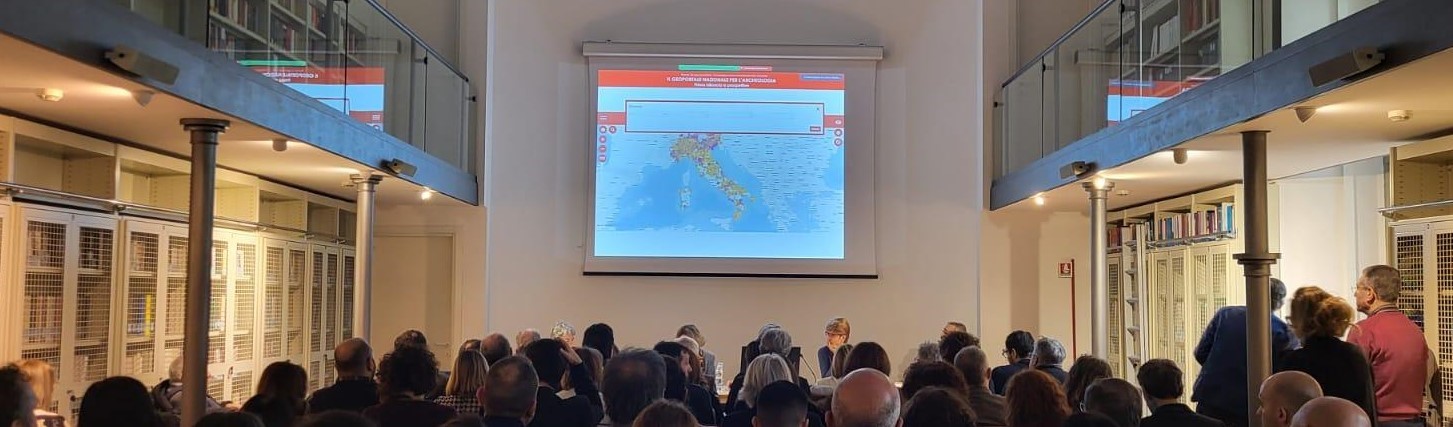
Italferr, the engineering company of the FS Group's infrastructure hub, took part in the conference entitled 'The National Geoportal of Archaeology (GNA). First assessment and prospects’, held at the Complesso Monumentale di San Michele in Ripa in Rome, the prestigious headquarters of the Italian Ministry of Culture (MIC).
The event was an important opportunity to take stock of the use of the National Geoportal for Archaeology.
Active since June 2023, following the coming into force of the Guidelines on Archaeology (April 2022), the MIC web portal will provide an online update of the Archaeological Map of Italy.
The conference, attended by Italferr's Archaeology Operational Structure, was attended by MIC directors, including Luigi La Rocca, General Director of Archaeology, Fine Arts and Landscape and Elena Calandra, Director of the Central Institute for Archaeology, as well as representatives of the territorial Superintendencies and illustrious academics.
The Archaeology O.S. presented a poster entitled 'GNA and railway infrastructure design' and took an active part in the debate that followed the speakers' speeches. In the course of the speeches, specific spatial projects developed on a GIS platform were illustrated, whose data will also feed into the GNA.
Its participation in this important conference confirms Italferr's leading role in the field of preventive archaeology.
The meeting reaffirmed how Italferr contributes significantly to the implementation of the GNA through the drafting of a substantial number of Archaeological Studies, by which preliminary and extended archaeological investigations are carried out, the results of which will provide a decisive contribution to the enrichment of the data in the GNA.
It also emerged that Italferr is making increasingly systematic use of geophysical prospecting and proximal sensing, which are new methods of archaeological investigation. The use of these methodologies has proved particularly effective for the expeditious identification of archaeological anomalies, allowing the number and location of stratigraphic assays to be calibrated, with a significant reduction in cost and time required for field activities.